The European Commission requires the RPA to proactively check its digital maps against the most up-to-date Ordnance Survey maps and aerial photographs to ensure the data is no more than 3 years old.
This process known as Proactive Land Change Detection (PLCD) will check all 2.1million land parcels registered on the RPA Land Management System and it is anticipated that some two-thirds of these will change in size, shape, land cover or field number. The knock on effect is expected to create additional paperwork for farmers and landowners and could delay the Basic Payment Scheme 2017 payments which are due to commence on the 1st December leading to concerns over this winter’s cashflow for many farmers.
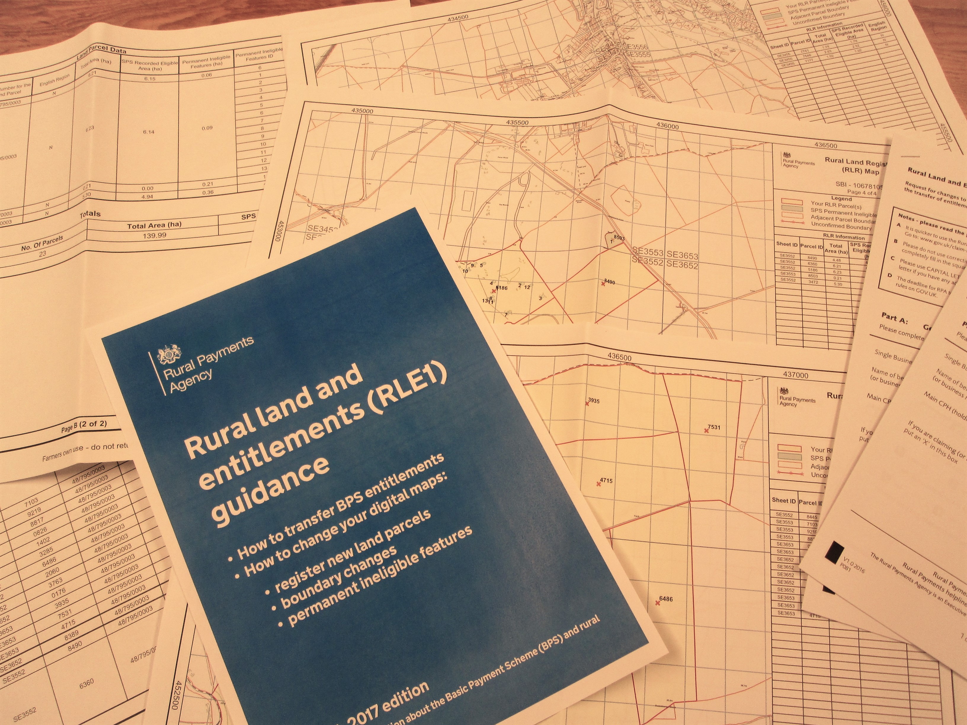
The changes to the field data will be published starting this summer and running until October 2017 and Farmers and Landowners will have to check this data for its correctness and notify the RPA of any incorrect boundary changes. Claimants should receive notifications in the ‘messages’ section of the Rural Payment website once the mapping update has been completed and the updated maps can be viewed in the ‘Land’ section of the website. If inaccuracies are spotted on the mapping farmers are required to submit and RLE1 form identifying the changes required to correct the error, it is highly unlikely that these RLE1’s will be processed before the 2017 payment window opens and therefore this is expected to impact on the accuracy of the 2017 payments and possibly the 2018 application form data.
If you require assistance with checking your maps and submission of an RLE1 form to correct any errors please contact our Agricultural Team on 01423 860322